Aroser Weisshorn
| Aroser Weisshorn | |
|---|---|
 |
|
| Highest point | |
| Elevation | 2,653 m (8,704 ft) |
| Prominence | 286 m (938 ft) |
| Parent peak | Aroser Rothorn |
| Coordinates | 46°47′22.5″N 09°38′17.6″E / 46.789583°N 9.638222°ECoordinates: 46°47′22.5″N 09°38′17.6″E / 46.789583°N 9.638222°E |
| Geography | |
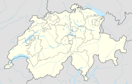
| Location | Graubünden, Switzerland |
| Parent range | Plessur Alps |
| Climbing | |
| Easiest route | Aerial tramway from Arosa |
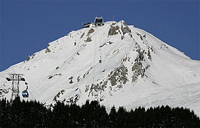
The Aroser Weisshorn is a mountain of the Plessur Alps, overlooking Arosa in the canton of Graubünden.
A two-stage cable car links the top of the mountain with the town and resort of Arosa — the base station is near to Arosa railway station.
...
Wikipedia

