Dongen
| Dongen | |||
|---|---|---|---|
| Municipality | |||

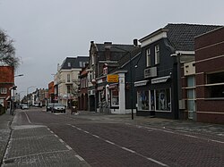
Street through Dongen
|
|||
|
|||
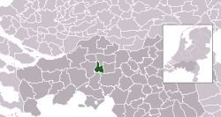
 Location in North Brabant |
|||
| Coordinates: 51°38′N 4°56′E / 51.633°N 4.933°ECoordinates: 51°38′N 4°56′E / 51.633°N 4.933°E | |||
| Country | Netherlands | ||
| Province | North Brabant | ||
| Government | |||
| • Body | Municipal council | ||
| • Mayor | Marina Starmans-Gelijns (VVD) | ||
| Area | |||
| • Total | 29.72 km2 (11.47 sq mi) | ||
| • Land | 29.29 km2 (11.31 sq mi) | ||
| • Water | 0.43 km2 (0.17 sq mi) | ||
| Elevation | 4 m (13 ft) | ||
| Population (May 2014) | |||
| • Total | 25,392 | ||
| • Density | 867/km2 (2,250/sq mi) | ||
| Demonym(s) | Dongenaar | ||
| Time zone | CET (UTC+1) | ||
| • Summer (DST) | CEST (UTC+2) | ||
| Postcode | 5100–5109 | ||
| Area code | 0162 | ||
| Website | www |
||
Dongen (![]() pronunciation ) is a municipality and a village in the southern Netherlands. In the past it was home to a profitable Leather industry, to which a few old shoe factories in the town's older sections still testify. The town is formed near a small river called "Donge" (about ten feet across), the water of which was used extensively for the leather industry. The Aerts Automobile was built here in 1899.
pronunciation ) is a municipality and a village in the southern Netherlands. In the past it was home to a profitable Leather industry, to which a few old shoe factories in the town's older sections still testify. The town is formed near a small river called "Donge" (about ten feet across), the water of which was used extensively for the leather industry. The Aerts Automobile was built here in 1899.
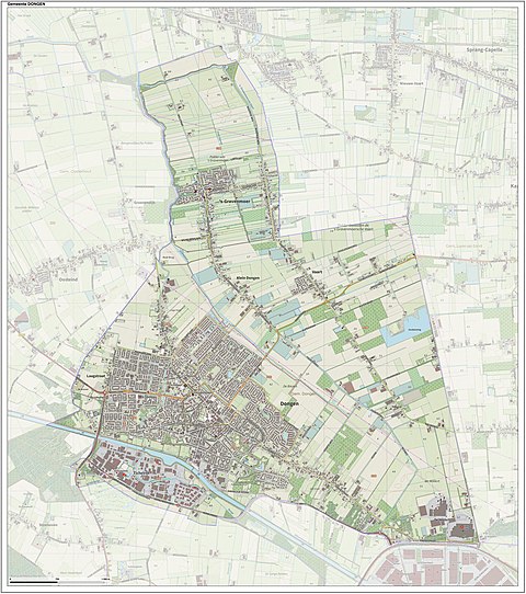
Dutch topographic map of the municipality of Dongen, June 2015
The municipal council exists of 21 chairs. You can find the composition of the council since 1998 below:
...
Wikipedia


