Erick, Oklahoma
| Erick, Oklahoma | |
|---|---|
| City | |
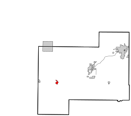
 Location in Beckham County and the state of Oklahoma. |
|
| Coordinates: 35°12′49″N 99°52′11″W / 35.21361°N 99.86972°WCoordinates: 35°12′49″N 99°52′11″W / 35.21361°N 99.86972°W | |
| Country | United States |
| State | Oklahoma |
| County | Beckham |
| Area | |
| • Total | 1.0 sq mi (2.5 km2) |
| • Land | 1.0 sq mi (2.5 km2) |
| • Water | 0.0 sq mi (0.0 km2) |
| Elevation | 2,064 ft (629 m) |
| Population (2010) | |
| • Total | 1,052 |
| • Density | 1,100/sq mi (420/km2) |
| Time zone | Central (CST) (UTC-6) |
| • Summer (DST) | CDT (UTC-5) |
| ZIP code | 73645 |
| Area code(s) | 580 |
| FIPS code | 40-24200 |
| GNIS feature ID | 1092634 |
Erick (/ˈɪərɪk/ EER-ik) is a city in Beckham County, Oklahoma, United States. The population was 1,052 at the 2010 census.
Erick is located at 35°12′49″N 99°52′11″W / 35.21361°N 99.86972°W (35.213549, -99.869821), elevation 2,060 feet (628 m).
According to the United States Census Bureau, the city has a total area of 1.0 square mile (2.6 km2), all of it land.
Erick is located just south of I-40 and is on the historic US Route 66 (which is signed as a business route from Interstate 40). The town is also served by State Highway 30.
On I-40, Erick is roughly midway from Asheville, North Carolina, to Barstow, California.
Erick is the second-closest Oklahoma settlement to the Texas border on US 66 or I-40 (tiny Texola, Oklahoma is at the border, seven miles to the west).
...
Wikipedia
