Fagasa, American Samoa
| Fagasa | |
|---|---|
| Village | |
 Panorama from Forbidden Bay near Fagasa
| |
| Coordinates: 14°17′14″S 170°43′06″W / 14.28722°S 170.71833°WCoordinates: 14°17′14″S 170°43′06″W / 14.28722°S 170.71833°W | |
| Country |
|
| Territory |
|
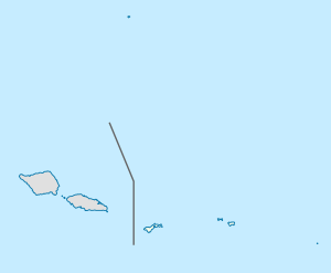
Fagasa is a village in the Eastern District of Tutuila Island in American Samoa. The village lies by Fagasa Bay, on the north shore of the island. Its name is Samoan and translates to “Forbidden Bay.” The village borders the Tutuila-section of National Park of American Samoa. The trailhead to Mount ‘Alava is located near the village by Fagasa Pass (on Route 5).
The first European expedition to ever set foot on Tutuila was headed by Frenchman Jean-François de Galaup, comte de Lapérouse, who landed at Fagasa in 1787. This encounter however ended tragic. A battle between the French and the Samoans found place in A'asu, where twelve sailors and 39 Samoans were killed.
A porpoise sanctuary is located in Fagasa Bay.
Fagasa is situated on the north shore of Tutuila, two miles southwest of Pago Pago. A stream with fales beside it follows the steep valley down to Fagasa. The buses to Fagasa go every hour from the bus station at Fagatogo Market in Pago Pago. Fagasa is located in Ituau County.
At Fagasa Pass right outside of town is the primary trailhead for the Mount ‘Alava Trail. This 7-mile roundtrip trail leads to a mountain summit with panoramic views of Pago Pago Harbor and surrounding areas of Tutuila Island. The trail goes through dense rainforest in the National Park, home to a variety of tropical bird species and fruit bats. Halfway up the mountain is a coconut- and banana plantation.
...
Wikipedia

