Fort Craig (Virginia)
| Fort Craig | |
|---|---|
| Part of the Civil War defenses of Washington, D.C. | |
| Arlington County, Virginia | |

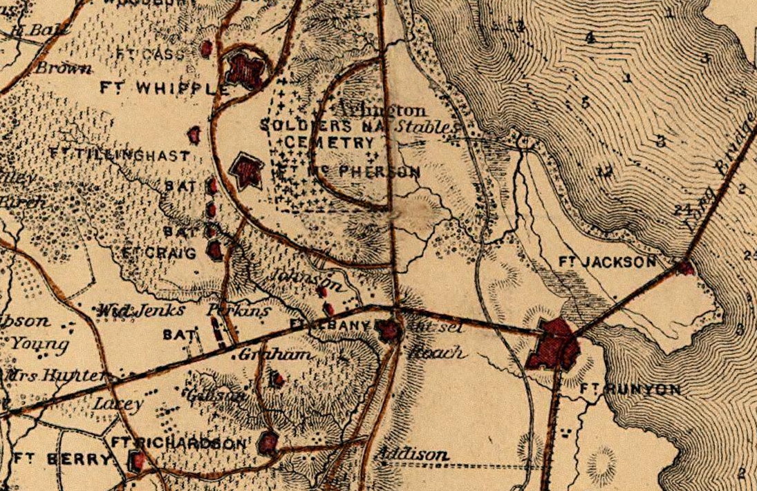
Map of Fort Craig and surrounding area, 1865.
|
|
| Coordinates | 38°52′13″N 77°04′54″W / 38.870408°N 77.08165°W |
| Type | Earthwork fort |
| Site information | |
| Controlled by | Union Army |
| Condition | Residential Area |
| Site history | |
| Built | 1861 |
| Built by | U.S. Army Corps of Engineers |
| In use | 1861–1865 |
| Materials | Earth, timber |
| Demolished | 1865 |
| Battles/wars | American Civil War |
Coordinates: 38°52′13″N 77°04′54″W / 38.870408°N 77.08165°W
Fort Craig was a small crescent-shaped, Civil War-era fort built by the Union Army in Arlington County (at that time Alexandria County) in Virginia. It was part of the defensive ring around Washington, D.C. and was occupied throughout the American Civil War. Fort Craig stood less than a mile away from Arlington House, the Union-occupied estate of Confederate General Robert E. Lee.
The fort was part of the Arlington Line and tied into Fort Tillinghast approximately 0.6 miles to the north and Fort Albany approximately 0.9 miles to the south. The fort helped guard the capital from the approach along the Columbia Turnpike and over the Long Bridge on the Potomac River.
Constructed on local farmland in August 1861, the fort was named for Lt. Presley O. Craig, 2nd U.S. Artillery Regiment, who was killed at the First Battle of Bull Run on July 21, 1861. Oriented to the southwest, it had a perimeter of 324 yards, emplacements for 11 guns, and 2 magazines. The fort's armament included four 24-pound guns, one 24-pound field howitzer, five 30-pound Parrott rifles, a 10-inch mortar, and a 24-pound Coehorn mortar.
...
Wikipedia
