Homlungen Lighthouse

Homlungen Lighthouse
|
|
|
Norway South
|
|
| Location |
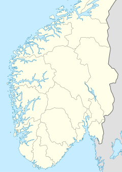
Hvaler Østfold Norway |
|---|---|
| Coordinates | 59°00′58″N 11°01′28″E / 59.016085°N 11.024394°ECoordinates: 59°00′58″N 11°01′28″E / 59.016085°N 11.024394°E |
| Year first constructed | 1867 |
| Foundation | granite |
| Construction | wood |
| Tower shape | square tower integral with house |
| Markings / pattern | white tower, red lantern |
| Height | 12 metres (39 ft) |
| Focal height | 13.5 metres (44 ft) |
| Current lens | 4° order Fresnel lens |
| Range | 12 nautical miles (22 km; 14 mi) |
| Characteristic | Oc WRG 6s. |
| Admiralty number | B2222 |
| NGA number | 0116 |
| ARLHS number | NOR-125 |
| Norway number | NF-0055 |
| Managing agent | Oslofjorden Friluftsråd (Homlungen) |
| Heritage |
cultural property |
|
[]
|
|
Homlungen Lighthouse (Norwegian: Homlungen fyr) is a fully automated leading lighthouse situated on a skerry in the archipelago municipality of Hvaler, Norway. The lighthouse and surrounding buildings, which include residences, outhouse, a well, and engine house are proposed protected as a national park.
...
Wikipedia

