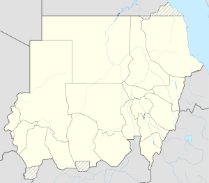
Kingdom of North Sudan
|
Bir Tawil بير طويل |
|
|---|---|
| Location between Egypt and Sudan | |
| Coordinates: 21°52′14″N 33°44′14″E / 21.87056°N 33.73722°ECoordinates: 21°52′14″N 33°44′14″E / 21.87056°N 33.73722°E | |
| Country | None |
| Area | |
| • Total | 2,060 km2 (800 sq mi) |
| Population (2014) | |
| • Total | 0 |
| • Density | 0/km2 (0/sq mi) |
Bir Tawil or Bi'r Tawīl (Egyptian Arabic: بير طويل Bīr Ṭawīl [biːɾ tˤɑˈwiːl] or بئر طويل Bi’r Ṭawīl, meaning "tall water well") is a 2,060 km2 (800 sq mi) area along the border between Egypt and Sudan, which is uninhabited and claimed by neither country. When spoken of in association with the neighboring Hala'ib Triangle, it is sometimes referred to as the Bir Tawil Triangle, despite the area's quadrilateral shape; the two "triangles" border at a quadripoint.
Its terra nullius status results from a discrepancy between the straight political boundary between Egypt and Sudan established in 1899, and the irregular administrative boundary established in 1902. Egypt asserts the political boundary, and Sudan asserts the administrative boundary, with the result that the Hala'ib Triangle is claimed by both, and Bir Tawil by neither. In 2014, author Alastair Bonnett described Bir Tawil as the only place on Earth that was habitable but was not claimed by any recognized government.
In 1899, when the United Kingdom held authority in the area, the Anglo-Egyptian Condominium Agreement for Sudan set the border between the territories at the 22nd parallel. However, in 1902 the UK drew a separate "administrative boundary", intended to reflect the actual use of the land by the tribes in the region. Bir Tawil was grazing land used by the Ababda tribe based near Aswan, and thus was placed under Egyptian administration from Cairo. Similarly, the Hala'ib Triangle to the northeast was placed under the British governor of Sudan, because its inhabitants were culturally closer to Khartoum.
...
Wikipedia


