Morrinho de Açúcar
| Morrinho de Açúcar | |
|---|---|

Morrinho de Açúcar
|
|
| Highest point | |
| Elevation | 40.53 m (133.0 ft) |
| Listing | List of mountains in Cape Verde |
| Coordinates | 16°43′12″N 22°57′45″W / 16.72000°N 22.96250°WCoordinates: 16°43′12″N 22°57′45″W / 16.72000°N 22.96250°W |
| Geography | |
|
northern Sal
|
|
| Geology | |
| Mountain type | Formation |
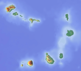
Morrinho de Açúcar (Portuguese meaning "sugar formation”), is a small hill iin the northern part of the island of Sal in Cape Verde. It is situated 15 km north of the island capital Espargos. It is also a protected landscape because of its geological value.
It is connected with a track with Espargos and Terra Boa to the south. Northeast is the island's northeasternmost point, Ponta Preta do Norte or Reguinho Fiura. The surrounding area consists a plain but southwest consists of mountains.
...
Wikipedia

