Nekrasovskoye
| Nekrasovskoye (in English) Некрасовское (Russian) |
|
|---|---|
| - Urban-type settlement - | |
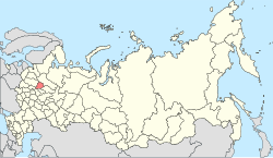
 Location of Yaroslavl Oblast in Russia |
|
|
|
|
|
|
|
| Administrative status | |
| Country | Russia |
| Federal subject | Yaroslavl Oblast |
| Administrative district | Nekrasovsky District |
| Municipal status (as of July 2011) | |
| Municipal district | Nekrasovsky Municipal District |
| Administrative center of | Nekrasovsky Municipal District, Nekrasovskoy Urban Settlement |
| Statistics | |
| Population (2010 Census) | 6,164 inhabitants |
| Population (2013 est.) | 6,063 inhabitants |
| Time zone | MSK (UTC+03:00) |
| Urban-type settlement status since | 1940 |
| Postal code(s) | 152260 |
| Dialing code(s) | +7 48531 |
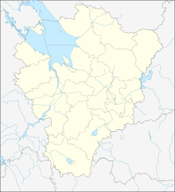
| on | |
Nekrasovskoye (Russian: Некрасовское) is an urban locality (a work settlement) the administrative center of Nekrasovsky District in Yaroslavl Oblast.
First mentioned in 1214 as the village of Sol Vilikaya (Russian: Соль Великая) in the fight Rostov Principality Konstantin and Vladimir - George for local salt sources. Later, the settlement was known as Bolshie Soli (Russian: Большие Соли). In the 15th to 17th centuries mid saltworks worked here (at the end of the 16th century was Varnitsa). In subsequent years, more salt famous for their wood-carvers and masons.
On February 20, 1934 the Presidium of the Central Executive Committee decided to transfer the administrative center of the district of the village Bolshesolskogo Babaiki to the Nekrovskoye.
...
Wikipedia

