Quebec Autoroute 720
| Autoroute 720 | ||||
|---|---|---|---|---|
| Autoroute Ville-Marie | ||||

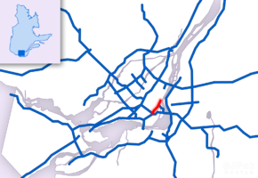
Map of Greater Montreal with Autoroute 720 highlighted in red
|
||||
| Route information | ||||
| Maintained by Transports Québec | ||||
| Length: | 8.5 km (5.3 mi) | |||
| Existed: | 1972 – present | |||
| Restrictions: | Height and HAZMAT restrictions in the Ville-Marie Tunnel | |||
| Major junctions | ||||
| West end: |
|
|||
|
|
||||
| East end: | Rue Notre-Dame in Montréal | |||
| Location | ||||
| Major cities: | Montréal, Westmount | |||
| Highway system | ||||
|
||||
Autoroute 720 (A-720), known as the Ville-Marie Expressway (English) or Autoroute Ville-Marie (French) is an Autoroute highway in the Canadian province of Quebec that is a spur route of Autoroute 20 in Montreal. Its western terminus is located at the Turcot Interchange, a junction with Autoroute 15 and Autoroute 20, and its eastern terminus is near the Jacques Cartier Bridge (Route 134), where the highway merges with Notre-Dame Street. The Autoroute Ville-Marie designation is named after the downtown borough of Ville-Marie, through which the expressway is routed.
Part of A-720 runs underground (below grade) through Downtown Montreal. This section begins from the west at Rue de la Montagne / Rue Atwater (exit 4) and remains underground almost all the way to its eastern end, except for a short section between Rue Bleury and Boulevard Saint-Laurent. The tunnelled section west of this gap is known as the Ville-Marie Tunnel, and the section east of it is known as Viger Tunnel. However, locals regard both tunnels as one, and the term Ville-Marie Tunnel is often used to refer to both tunnels.
...
Wikipedia

