Rest & Be Thankful
| A83 | |
|---|---|
 |
|
| Route information | |
| Length: | 98.3 mi (158.2 km) |
| Major junctions | |
| Northeast end: | Tarbet (NN319044) |
|
|
|
| Southwest end: | Campbeltown (NR720204) |
| Location | |
|
Primary destinations: |
Glasgow, Inveraray, Lochgilphead, Campbeltown |
| Road network | |
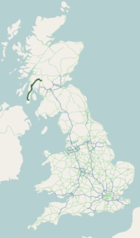
The A83 is a major road in the south of Argyll and Bute, Scottish Highlands, running from Tarbet, on the western shore of Loch Lomond, where it splits from the A82, to Campbeltown at the southern end of the Kintyre peninsula.
From Tarbet the A83 runs west across the watershed between Loch Lomond and Loch Long to Arrochar near the head of Loch Long. It then goes round the head of the loch, and along the western shore for a short distance, before turning NW up Glen Croe to the Rest & be thankful viewpoint picnic area in Cowal (56°13′36″N 4°51′25″W / 56.22667°N 4.85694°W), at the pass through the Arrochar Alps from the shore of Loch Long to that of Loch Fyne. It was near this spot that an RAF Tornado crashed on 2 July 2009.
REST & BE THANKFUL are the words inscribed on a stone near the junction of the A83 and the B828, placed there by soldiers who built the original military road in 1753, now referred to as the Drovers' road. The original stone fell into ruin and was replaced by a commemorative stone at the same site.
...
Wikipedia

