Rophaien
| Rophaien | |
|---|---|

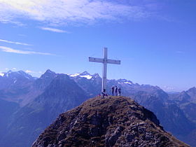
The summit
|
|
| Highest point | |
| Elevation | 2,078 m (6,818 ft) |
| Prominence | 122 m (400 ft) |
| Coordinates | 46°55′41″N 8°38′47″E / 46.92806°N 8.64639°ECoordinates: 46°55′41″N 8°38′47″E / 46.92806°N 8.64639°E |
| Geography | |
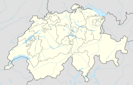
| Location | Uri, Switzerland |
| Parent range | Schwyzer Alps |
| Topo map | Swiss Federal Office of Topography swisstopo |
The Rophaien (2,078 m) is a mountain of the Schwyzer Alps, overlooking Lake Lucerne (Urnersee) in the canton of Uri. It lies west of the , at the western end of the range north of the Schächental.
...
Wikipedia

