Sturgeon-Weir River
| Sturgeon-Weir River | |
| Riviere Maligne | |
|
A canoe navigating the rapids on the Sturgeon-Weir River
|
|
| Country | Canada |
|---|---|
| Province | Saskatchewan |
| Source | Corneille Lake |
| - elevation | 311 m (1,020 ft) |
| - coordinates | 55°01′3″N 102°38′9″W / 55.01750°N 102.63583°W |
| Source confluence | Goose River (Manitoba) |
| - elevation | 274 m (899 ft) |
| - coordinates | 54°18′54″N 101°49′7″W / 54.31500°N 101.81861°W |
| Mouth | Namew Lake |
| - elevation | 266 m (873 ft) |
| - coordinates | 54°16′23″N 101°49′01″W / 54.27306°N 101.81694°WCoordinates: 54°16′23″N 101°49′01″W / 54.27306°N 101.81694°W |
| Length | 131 km (81 mi) |
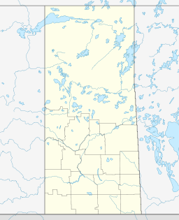
The Sturgeon-Weir River is a river in east-central Saskatchewan, Canada. It flows about 130 km (81 mi) south-southeast to join the Saskatchewan River at Cumberland House, Saskatchewan. It was on the main voyageur route from eastern Canada northeast to the Mackenzie River basin. The river is a popular wilderness canoe route in Canada.
The river's source is Corneille Lake, near the community of Pelican Narrows. It travels in a southeast direction, crossing Saskatchewan Highway 106 before reaching Amisk Lake. It then continues southeasterly to Sturgeon Landing and Namew Lake. It runs through the Churchill River Uplands ecoregion which is located along the southern edge of the Precambrian Shield. The area contains continuous coniferous and boreal forest, consisting of closed stands of black spruce and jack pine and a ground cover of mosses and lichens. Local relief rarely exceeds 25 m, but there are ridged steeply sloping rocky uplands and lowlands with exposed bedrock throughout. Wildlife includes barren-ground caribou, moose, black bear, lynx, wolf, beaver, muskrat, snowshoe hare and red-backed vole. Bird species include raven, common loon, spruce grouse, bald eagle, gray jay, hawk owl, and waterfowl, including ducks and geese. Trapping, hunting, fishing, and tourism are occasional uses of land in this region.
...
Wikipedia


