Three Kings Island
| Manawatawhi or Ngā Motu Karaka | |
|---|---|
| Geography | |
| Coordinates | 34°09′14″S 172°8′24″E / 34.15389°S 172.14000°ECoordinates: 34°09′14″S 172°8′24″E / 34.15389°S 172.14000°E |
| Total islands | 13 |
| Area | 4.86 km2 (1.88 sq mi) |
| Administration | |
| Demographics | |
| Population | None |
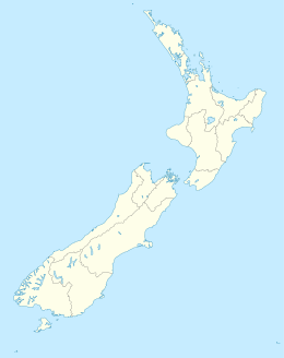
The Three Kings Islands, called Manawatawhi by Māori, are a group of 13 uninhabited islands about 55 kilometres (34 mi) northwest of Cape Reinga,of New Zealand, where the South Pacific Ocean and Tasman Sea converge. They measure about 4.86 km² in area. The islands are situated on a submarine plateau, the Three Kings Bank, and are separated from the New Zealand mainland by an 8 km wide, 200 to 300 m deep submarine trough. Therefore, despite relative proximity to the mainland, the islands are listed with the New Zealand Outlying Islands. The islands are an immediate part of New Zealand, but not part of any region or district, but instead Area Outside Territorial Authority, like all the other outlying islands except the Solander Islands.
They were named Drie Koningen Eyland on 6 January 1643 by Dutch explorer Abel Janszoon Tasman who three weeks earlier had become the first European known to have seen New Zealand.
Tasman anchored at the islands when searching for water. As it was the Twelfth Night feast of the Epiphany, the day the biblical three kings known as the wise men visited Christ the child, he named the islands accordingly. Tasman also named another prominent cape Cape Maria van Diemen, after the wife of Anthony van Diemen, Governor-General of the Dutch East Indies (now Indonesia). These are the only two geographic features in New Zealand to retain the names given to them by Abel Tasman. Tasman found the islands to be inhabited by Māori, but since 1840 they have been uninhabited. The Māori population probably never exceeded 100.
...
Wikipedia

