Throckmorton, Texas
| Throckmorton, Texas | |
|---|---|
| Town | |

Downtown Throckmorton in 2015
|
|
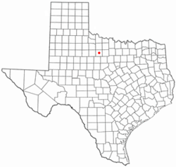
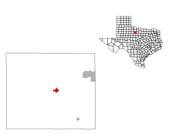
 Location of Throckmorton, Texas |
|
 |
|
| Coordinates: 33°10′53″N 99°10′41″W / 33.18139°N 99.17806°WCoordinates: 33°10′53″N 99°10′41″W / 33.18139°N 99.17806°W | |
| Country | United States |
| State | Texas |
| County | Throckmorton |
| Area | |
| • Total | 1.7 sq mi (4.3 km2) |
| • Land | 1.7 sq mi (4.3 km2) |
| • Water | 0.0 sq mi (0.0 km2) |
| Elevation | 1,319 ft (402 m) |
| Population (2010) | |
| • Total | 828 |
| • Density | 490/sq mi (190/km2) |
| Time zone | Central (CST) (UTC-6) |
| • Summer (DST) | CDT (UTC-5) |
| ZIP code | 76483 |
| Area code(s) | 940 |
| FIPS code | 48-72896 |
| GNIS feature ID | 1369910 |
| Website | throckmortontx.org |
Throckmorton is a town in Throckmorton County, Texas, United States. The population was 828 at the 2010 census. It is the county seat of Throckmorton County.
Throckmorton is located at 33°10′53″N 99°10′41″W / 33.18139°N 99.17806°W (33.181399, -99.178173).
According to the United States Census Bureau, the town has a total area of 1.7 square miles (4.4 km²), all of it land.
The climate in this area is characterized by hot, humid summers and generally mild to cool winters. According to the Köppen Climate Classification system, Throckmorton has a humid subtropical climate, abbreviated "Cfa" on climate maps.
As of the census of 2010, there were 828 people, a decrease of 8.51% since 2000 (77 people). There were 477 housing units, with 116 of them vacant. The racial makeup of the town was 93.50% White (774 people), 0.12% African American (1 person), 0.97% Native American (8 people), 0.48% Asian (4 people), 4.11% from other races (34 people), and 0.85% from two or more races (7 people). Hispanic or Latino of any race were 10.27% of the population (85 people).
...
Wikipedia
