Vysokohirne, Zaporizhia Raion
|
Vysokohirne Високогірне |
|
|---|---|
| Rural settlement | |
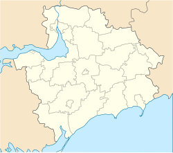
| Location of Vysokohirne in Zaporizhia Oblast | |
| Coordinates: 47°51′07″N 34°57′22″E / 47.85194°N 34.95611°ECoordinates: 47°51′07″N 34°57′22″E / 47.85194°N 34.95611°E | |
| Country |
|
| Province | Zaporizhia Oblast |
| District | Zaporizhia Raion |
| Council | Dolynske Rural Council |
| Founded | 1936 |
| Area | |
| • Total | 4.969 km2 (1.919 sq mi) |
| Elevation | 119 m (390 ft) |
| Population (2001) | |
| • Total | 251 |
| • Density | 51/km2 (130/sq mi) |
| Time zone | EET (UTC+2) |
| • Summer (DST) | EEST (UTC+3) |
| Postal code | 70421 |
| Area code | +380 612 |
| Website | http://rada.gov.ua/ |
Vysokohirne (Ukrainian: Високогірне) is a rural settlement (a selyshche) in the Zaporizhia Raion (district) of Zaporizhia Oblast in southern Ukraine. Its population was 251 in the 2001 Ukrainian Census. Administratively, it belongs to the Dolynske Rural Council, a local government area.
...
Wikipedia

